Tiny green dashes, crosses and diamonds wind their way across OS maps through forests and towns, across rivers and fields… but what do they mean? These public Rights of Way (RoW) are historic routes that people have used for centuries to get from one place to another. Some RoW are only for pedestrians, others permit horses and bikes, whilst some allow motorised vehicles. It’s important to plan routes that are suitable for your transport of choice.
There are four types of RoW; Footpaths – small green dashes suitable for walking or running only. Bridleways – longer green dashes where you are permitted to walk, ride a horse and cycle. Restricted byways – a long green dash with alternating up/down vertical stripes allow pedestrians, horses, bikes and unmotorised vehicles such as horse drawn carriages. Byways open to all traffic (BOAT) – long dashes with a cross through where all types of transport can go. Be aware that a BOAT is not a road and vehicles usually need to be suitable for off-road travel in order to get anywhere!
When planning your adventures you might see RoW symbols with diamonds through them. This shows a Recreational Route or National Trail. Over longer distances, these trails are often way-marked and have volunteers who help to maintain them. Wherever you explore it’s essential to use RoW responsibly; always leave gates as you find them, take all litter home with you and stick to the rights of way that you can see on your map.
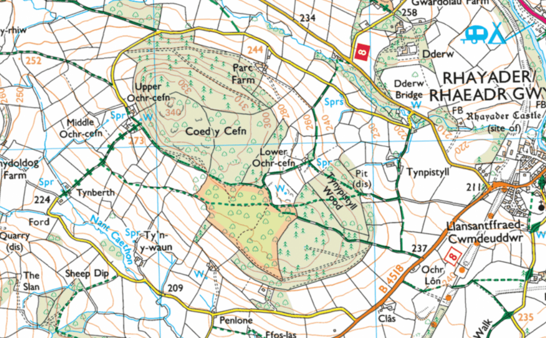
Can you identify the RoW on the map above? You don’t have to go far to try a new trail, why not grab a map of your local area and see what Rights of Way are waiting to be explored?
Eager to learn more navigation skills? Find out more about our navigation courses here.